Water Engineering from h2O
Brockway Engineering provides a broad spectrum of services in the water resources engineering and applied science fields. Scroll down to browse the brief descriptions below, or view our Statement of Qualifications for detailed explanations of all we do.
|
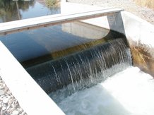
Hydraulic Design
Everything that manages, controls, conveys, stores, pumps, measures, tests, drains, applies, or distributes water or wastewater. |
|
Hydrologic Science and Design
Statistical and deterministic analyses and modeling for predicting, characterizing, and managing naturally occurring water. |
|
|
Hydrogeologic Modeling
Analytical and numerical models of groundwater flow and contaminant transport for all types of applications and problems. |
|
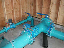
Water Supply and Wastewater
Municipal, residential, commercial, and irrigation water supply evaluations and design. On-site wastewater disposal design, permitting, and monitoring. |
|
|
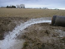
Groundwater Development
Design, testing, analysis, and monitoring services for municipal wells, irrigation wells, test wells, monitoring wells, and domestic wells. |
|
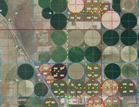
Water Rights
Comprehensive services for water right transactions including application preparation, hydrologic evaluations, GIS, and regulatory liaison |
|
|
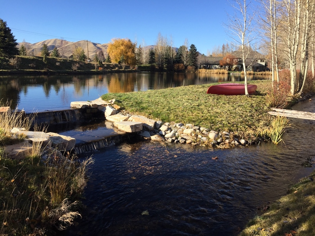
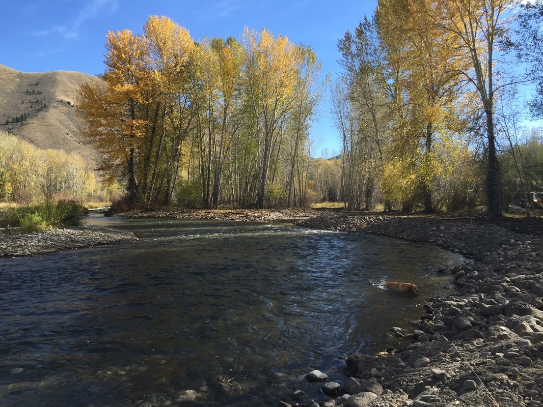
River Stabilization & Protection
Bank protection and restoration, erosion management, and design of protective structures. Permitting for Section 404 regulations, state regulation, and local stream channel ordinances. |
|
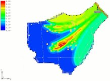
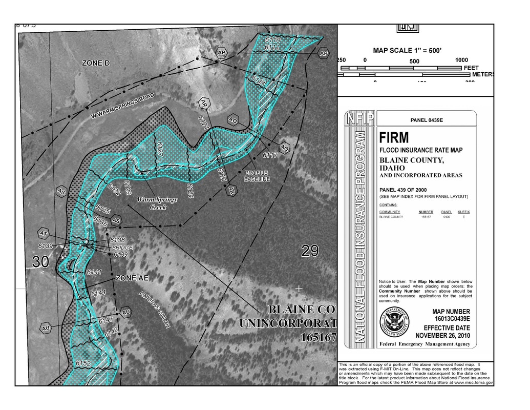
Flood Analysis and Control
Analytical and numerical modeling of flood plain inundation, flood elevations, and the effect of control and protective structures. Permitting through FEMA for LOMA and LOMR flood plain changes. |
|
|
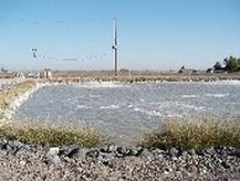
Wastewater Land Application
Evaluation, design, permitting, management, monitoring, and reporting for industrial and commercial wastewater disposal via land application. |
|
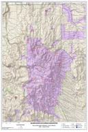
GIS Mapping
GIS mapping and analysis utilizing ArcMac, as support for engineering or water rights projects or as standalone analyses. Current and historical aerial photo acquisition and processing. |
|